
INSAR.AR
NASA Disasters Program
Visualizing data
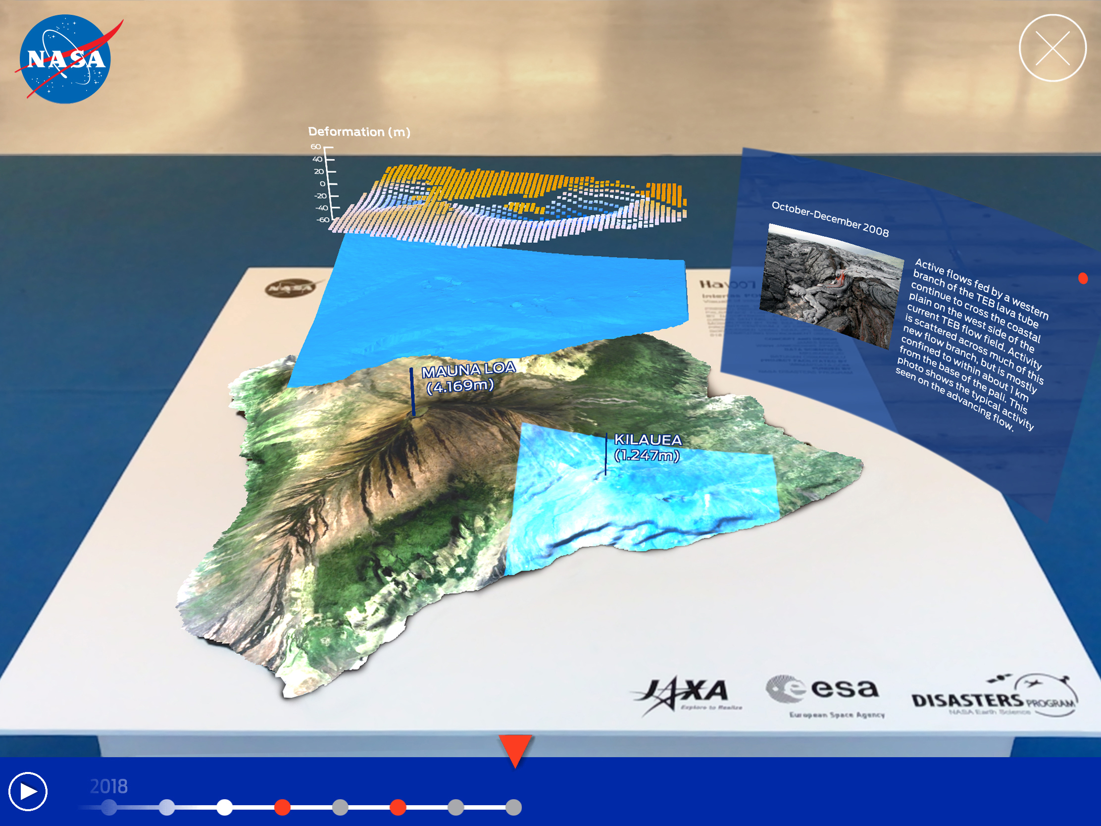
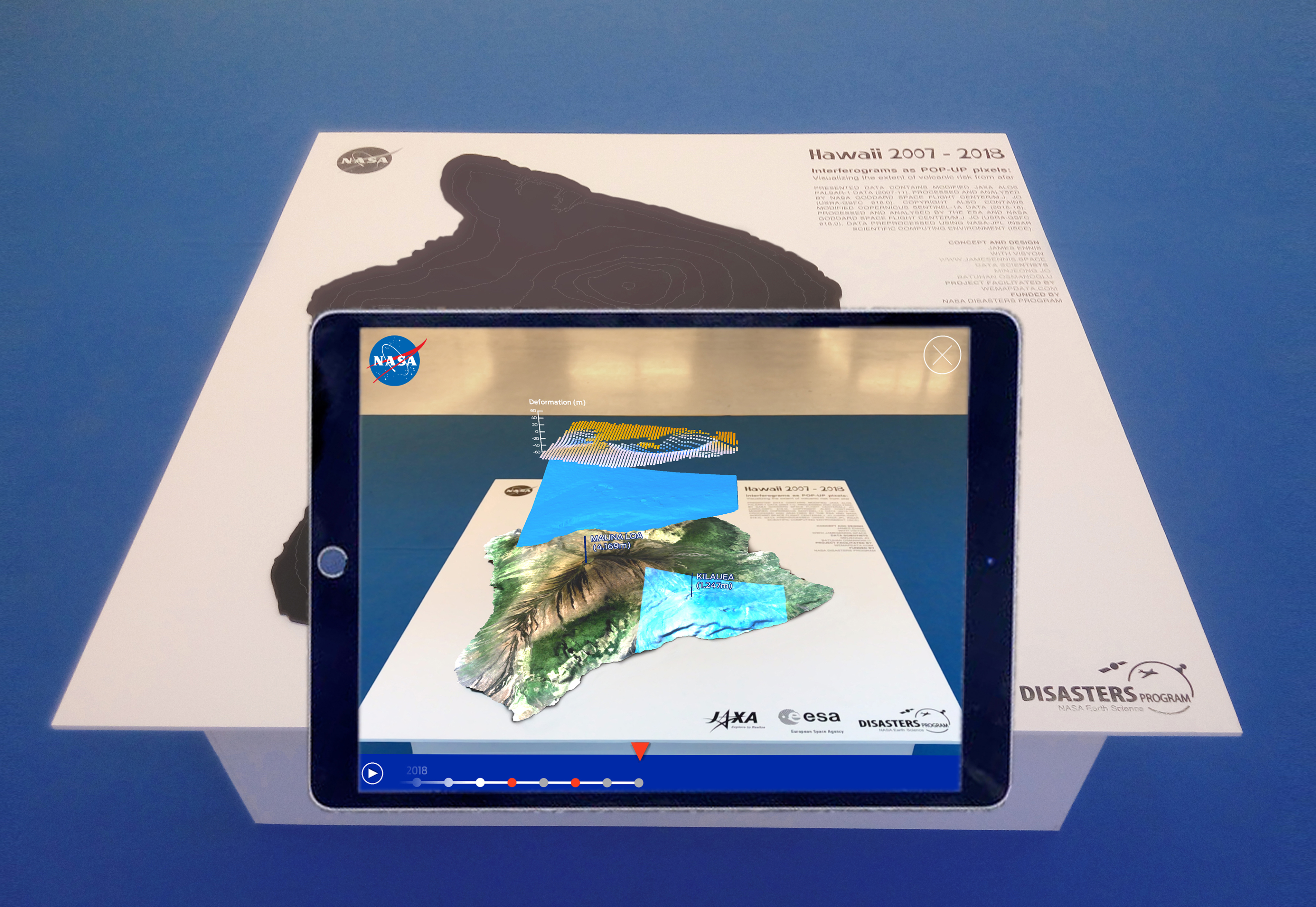
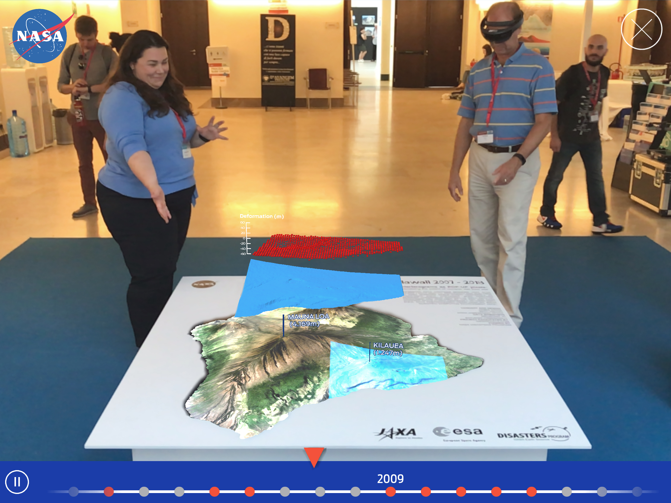
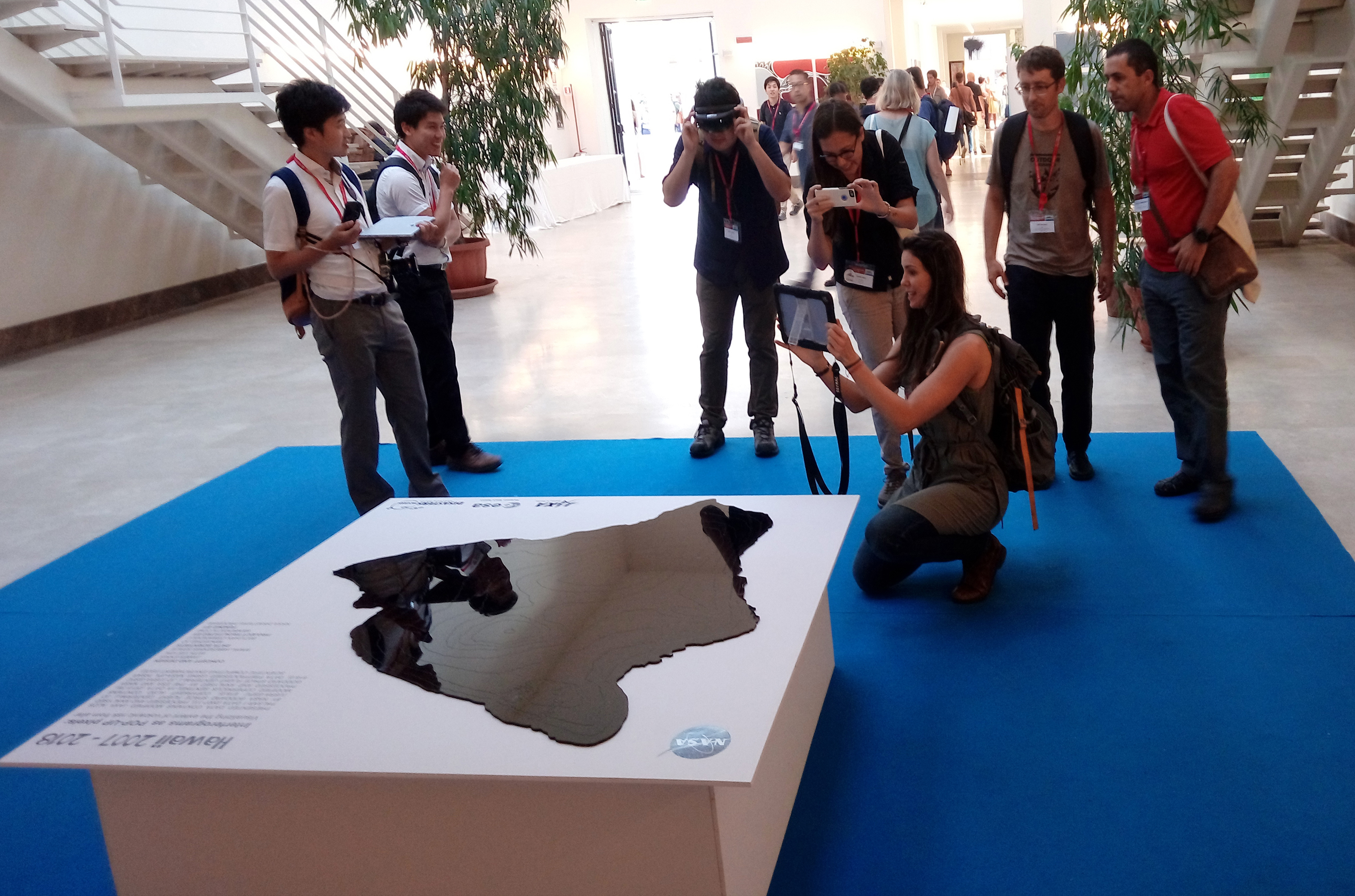
Presented at the cities and volcanoes conference, Naples, September 2018. In collaboration with NASA Earth Science disasters program, we used mixed reality to give time series data, Interferograms a 4th dimension. The visualisation provides a new perspective to observe, learn, communicate and share scientific evidence. It opens a new starting point to correlate different time series scientific evidence, enriched in this new dimension.
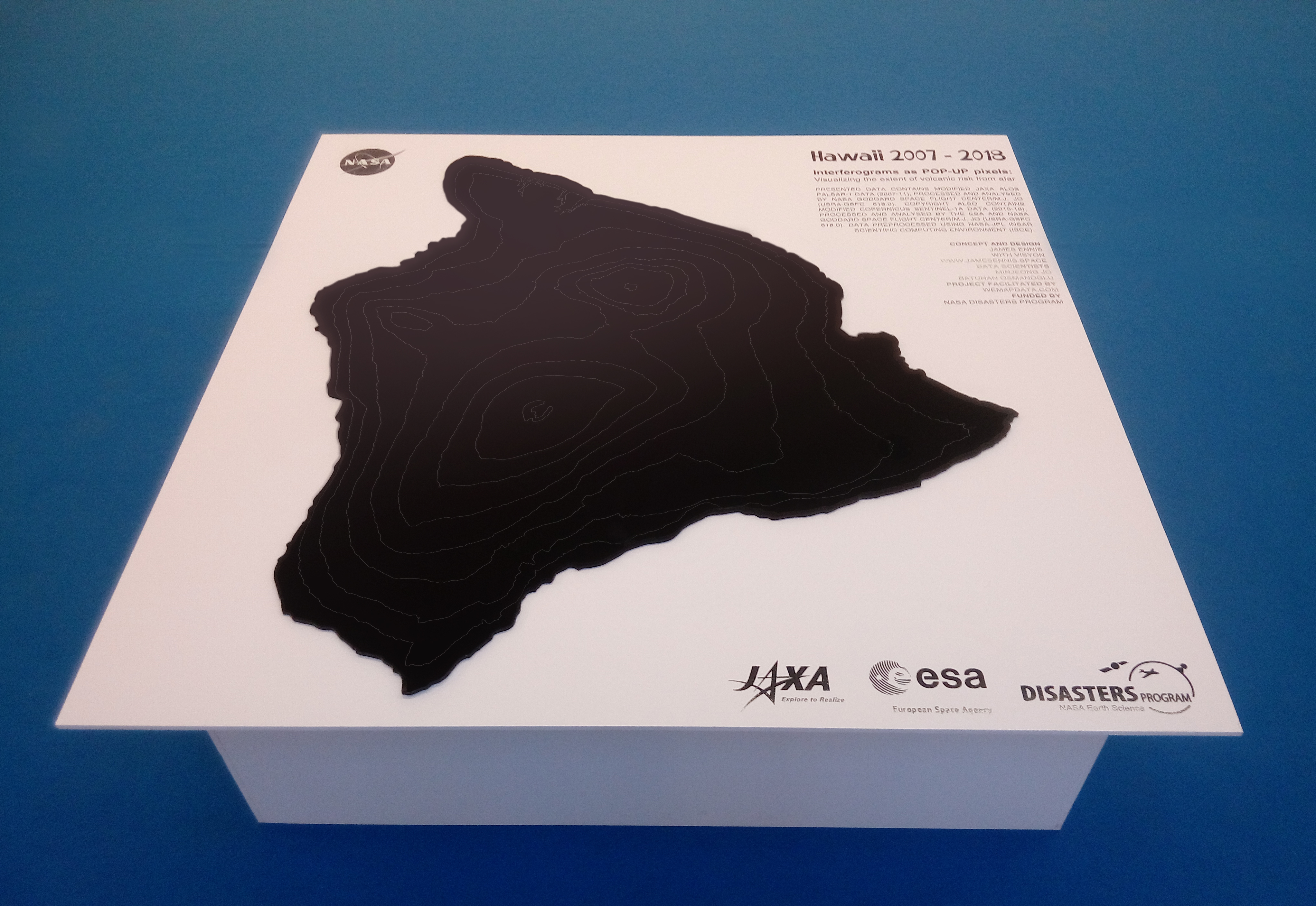
The installation is visualized using only satellite time-series SRTM data collected over 10 years, revealing topographic deformation of up to ±60 meters around Kīlauea. Hawaii was chosen for this installation due to the volcano’s activity, which culminated in a major eruption in June 2018 during the project’s development phase.
The eruption and collapse of the lower East Rift Zone are clearly evident within the AR environment. The location of the eruption had been identified in advance, and evacuations took place prior to the event, helping to save many lives and livestock.

Presented data contains modified JAXA ALOS PALSAR-1 data (2007-11), processed and analysed by NASA Goddard Space Flight Center/M.J. Jo (USRA-GSFC 618.0). Copyright also contains modified Copernicus Sentinel-1A data (2015-18), processed and analysed by the ESA and NASA Goddard Space Flight Center/M.J. Jo (USRA-GSFC 618.0). Data preprocessed using NASA-JPL InSAR Scientific Computing Environment (ISCE).
